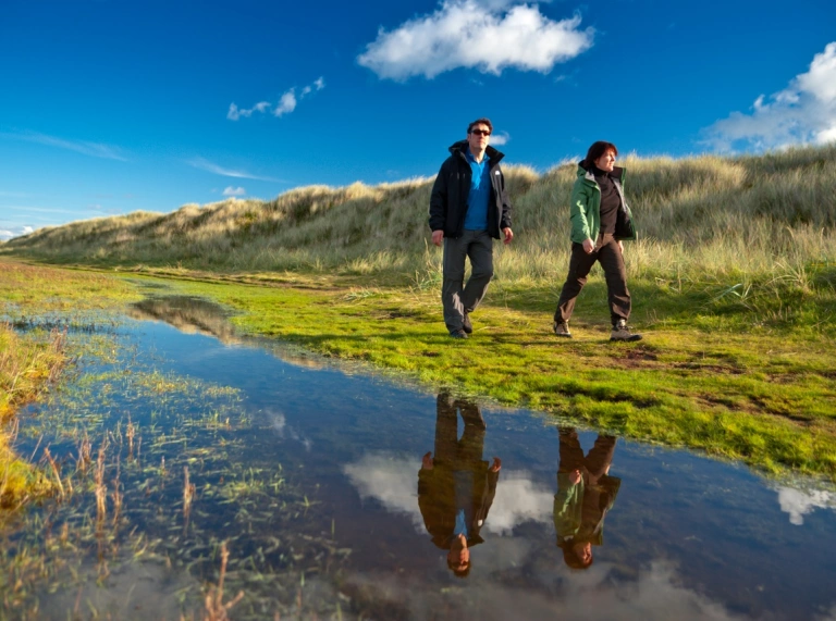
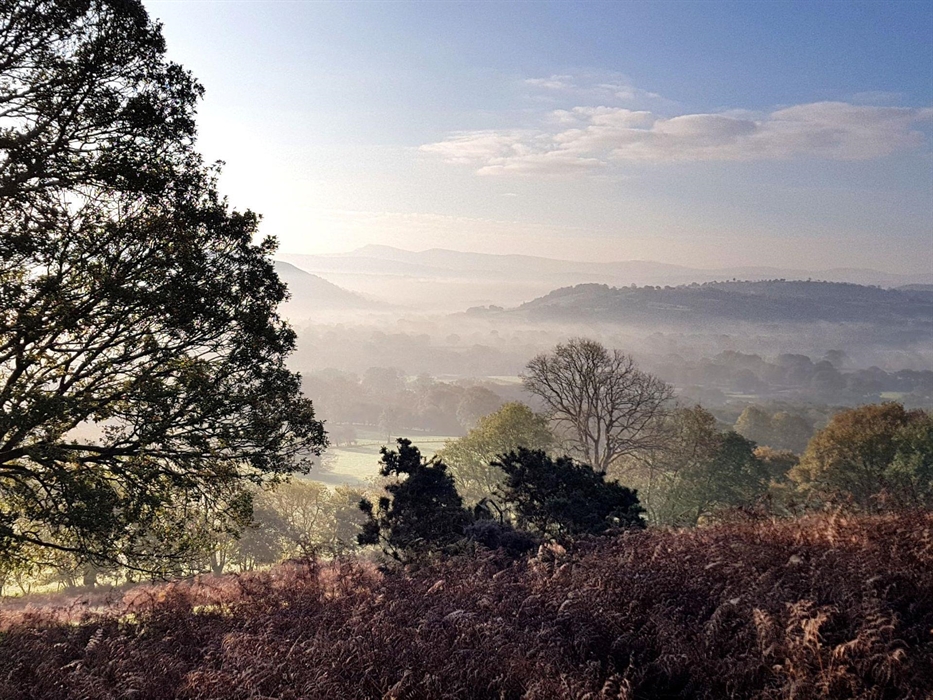
Wales is only half the size of The Netherlands, yet it’s packed with mountain ranges, lush valleys, rugged coastline and little market towns. This makes for excellent walking country whether clients want to walk independently or with a guide.
If you're organising a walking holiday or just want to include a walk in your itinerary there are lots of operators offering guided and self-guided walking tours and luggage transfers. Contact Travel Trade for more information.
The National Parks have all featured in Lonely Planet's top 500 Ultimate UK Travelist, a high accolade from one of the world's most recognised travel media specialists.
National Trails
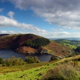
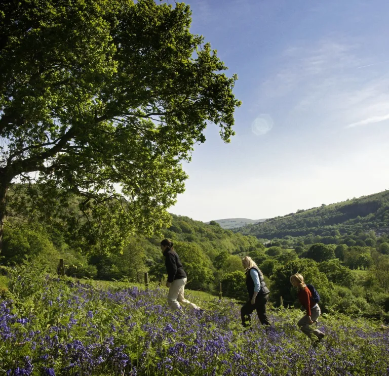
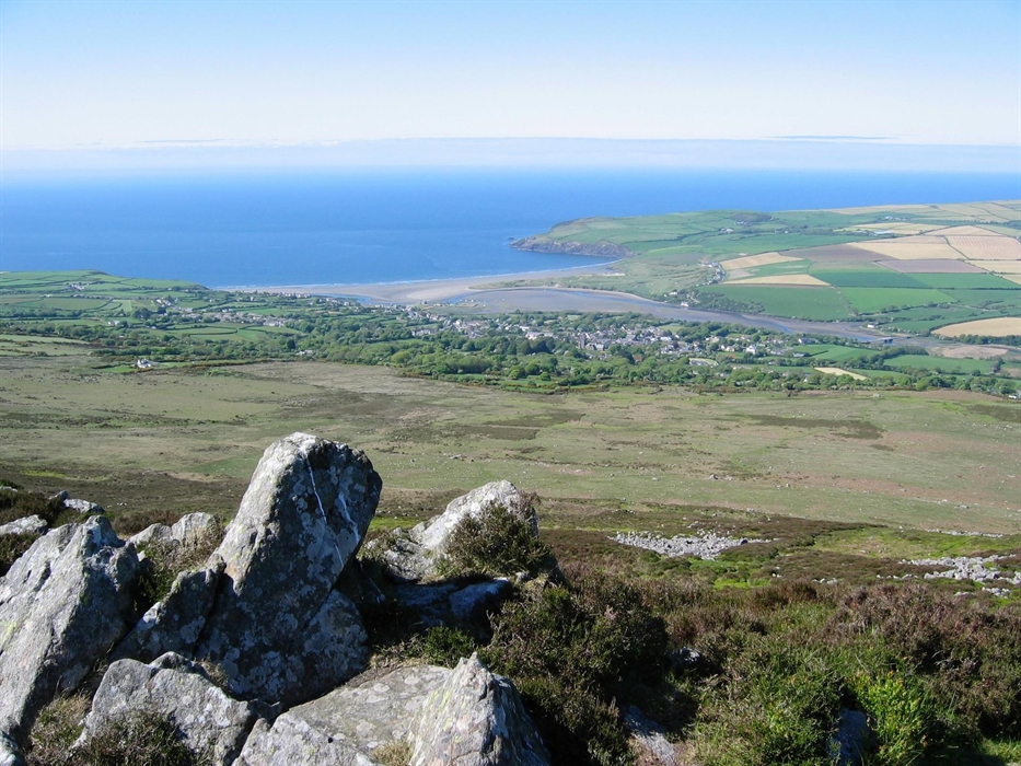
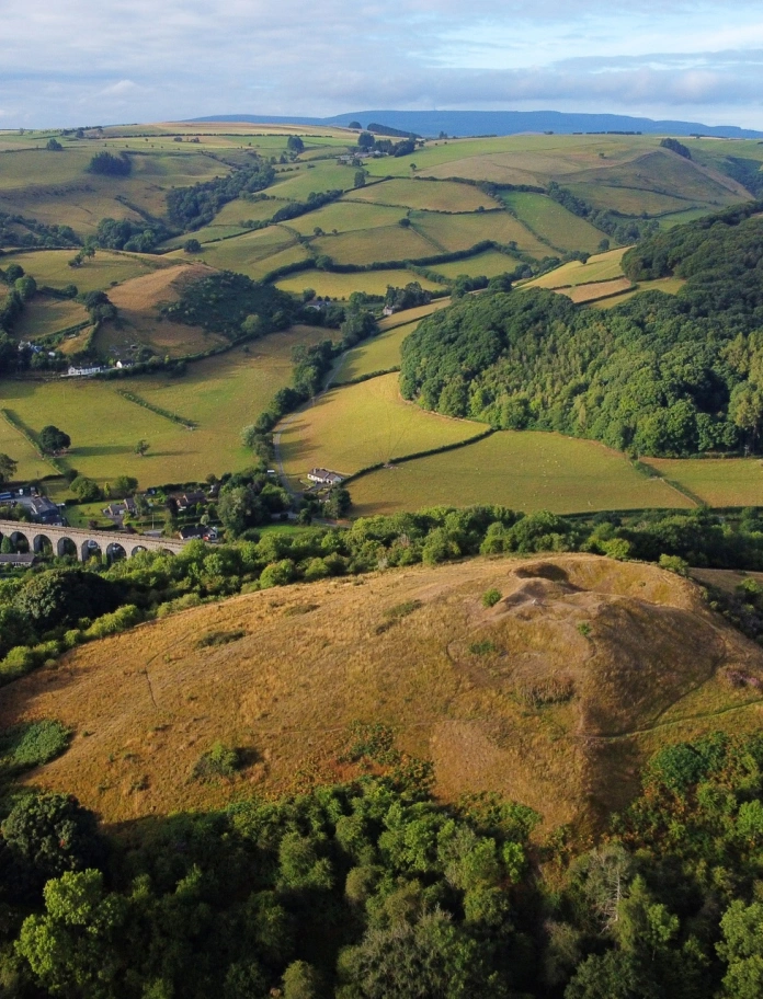
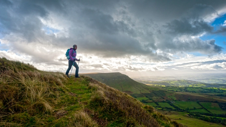
Bannau Brycheiniog (Brecon Beacons) National Park
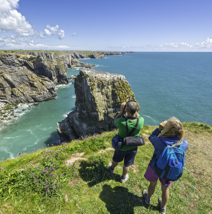
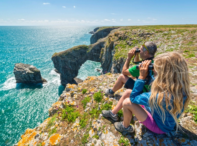
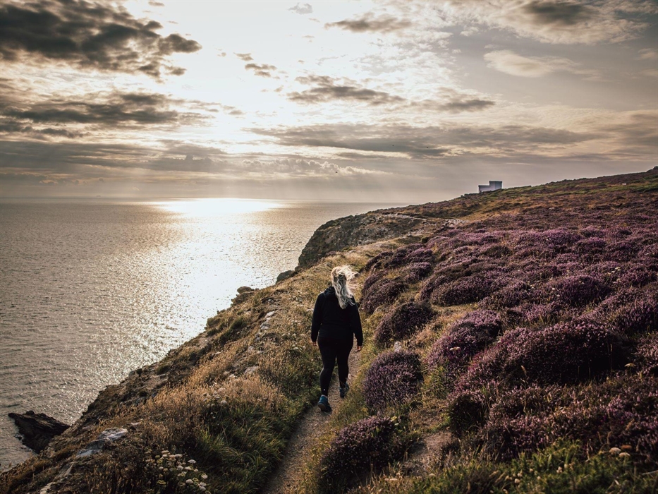
Pembrokeshire Coast National Park
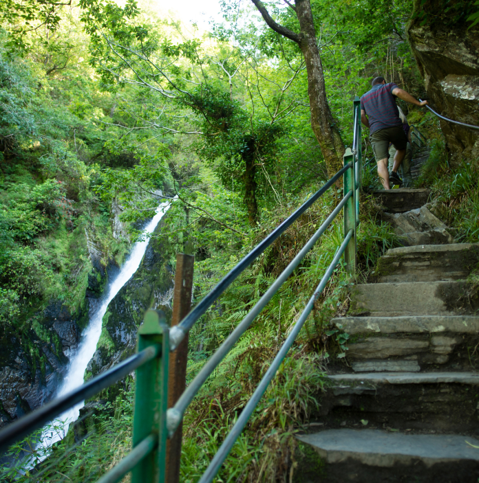
Eryri National Park (Snowdonia)
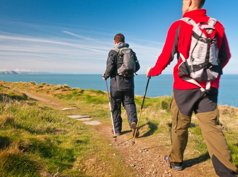
Wales Coast Path
Cambrian Way walking trail
Dark Skies in the Cambrian Mountains
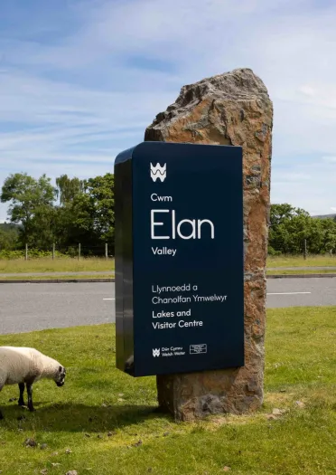
Elan Valley walking trails
Good Day Out - walking with animals
National Trust walking in Wales
Useful links
National Trails ensure high quality walking, with good way-marking and facilities.
Pembrokeshire Coast Path
The 186 mile (299 km) trail is one of Britain’s most popular long distance paths. After passing through the resorts of Tenby, Pembroke and Milford Haven, the route sticks to the beautiful coastline of the Pembrokeshire Coast National Park to reach the tiny cathedral city of St Davids, before heading north to Fishguard and St Dogmaels, in the shadow of the Preseli Hills.
Offa’s Dyke Path
This trail is a dramatic crossing of Wales from south to north. It follows loosely the line of King Offa of Mercia’s original ditch and bank and, in doing so, follows approximately the line of the official border between Wales and England. Varied terrain and views are guaranteed.
Glyndŵr’s Way National Trail
The latest of the National Trails which crosses incredibly varied Mid Wales countryside, is by far the least used of the National Trails, but passes a succession of unspoilt outposts, and scenery from gently rolling farmland to barren and moors.
Back to top
The Bannau Brycheiniog (Brecon Beacons) National Park provides walkers with stunning scenery, rugged landscapes, waterfalls, castles, moorland and of course, mountains. Walks are graded from easy to hard. Details of distance and time each route will take are provided on the website along with a downloadable map. They also provide details of an eight day walking holiday named The Beacons Way which allows walkers to explore the entirety of the 99 mile (159 km) park.
With 240 square miles (620 sq km) of park to discover, the Pembrokeshire Coast National Park is a special place to plan a walk, which has the most blue flag beaches in the country and is only ten miles away from the coast wherever you are in the park. There are 200 circular 'web walks' to choose from including easy access, gentle strolls and half day routes. The south of the park features limestone cliffs hugging the coastline whilst the north has more of a rugged landscape with hills, glacial valleys and volcanic headlands.
There is plenty of information provided for walking in Eryri National Park (Snowdonia National Park). The website categorises walks from easy, moderate, hard and accessible, providing the distance and an average time to complete the walk. There are step by step route details as well as maps, images and films.
Eryri National Park Authority has developed a simple to use GPS-enabled app for walking Yr Wyddfa (Snowdon). It covers the six main paths to the summit with detailed route maps that tracks your clients progress as they ascend and help them plan ahead before visiting. The app works offline, meaning no internet or phone signal is required when using on the mountain. Each map also includes contour information to look out for hazardous sections. Download the Yr Wyddfa Walks App on the App Store or get it on Google Play.
Pre-booking is available for Pen y Pass Car Park (for the PyG and Miners tracks). Please note that you cannot park at Pen y Pass without pre-booking a parking space. Your clients can also use the Snowdon Sherpa bus service to reach Pen y Pass. There are several parking options for hiking Yr Wyddfa depending on the route.
The Wales Coast Path is 870 miles (1,400km) of dedicated footpaths which span around the entire coastline of Wales and was the first country in the world to provide such a walking trail. The website provides self guided themed itineraries including Culture and Heritage, Mindfulness and Wow walks. There are also details about the Wales Coast Path app which can be downloaded for Apple iOS and Android devices.
Your clients can explore the Wales Coast Path by bus or train. See also Transport for Wales' Rail to Trail information highlighting where you can access the Wales Coast Path by train. There are also lots of accessible sections along the path.
To celebrate its 10th anniversary in 2022 the Wales Coast Path, in conjunction with Cadw, launched 20 new itineraries to help your clients to discover some of Cadw's historic places.
The latest addition to their website is their circular walks.

Operators that can help - 1
The walking trail was first designed by Tony Drake 50 years ago. Residing in Gloucestershire, he enjoyed walking in Wales and left money to Ramblers Cymru following his death to complete the trail. The 298 mile (480 km) walking trail links the coasts from South to North Wales and is both scenic and challenging.
The way-marked route named ‘Cambrian Way’ starts in Cardiff and ends in Conwy and could take around three weeks to complete.
Taking in sites including Devil’s Bridge, the Black Mountains, and Barmouth, walkers will need maps to ensure they stay on the path as some of the sections cannot be way-marked due to feasibility.
Maps and guidebooks can be found on the Cambrian Way website.
For night walks, The Cambrian Mountains destination of Wales has created an astro-tourism trail which includes our Dark Sky Discovery Site locations.
- Y Star Inn Car Park, Dylife, Powys
- Y Bwa / The Arch, Coedwig, Cwmystwyth Forest
- Pont ar Elan Car Park, Cwm Elan Valley
- Coed Y Bont, Pontrhydfendigaid
- Hostel Dolgoch, Tregaron
- Hostel Ty’n Cornel, Llanddewi Brefi
- Cronfa Ddŵr Llyn Brianne Reservoir, Rhandirmwyn
- Mynydd Llanllwni Mountain, Llanllwni, Sir Gâr/Carmarthenshire
- Llanerchaeron National Trust
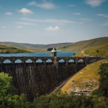
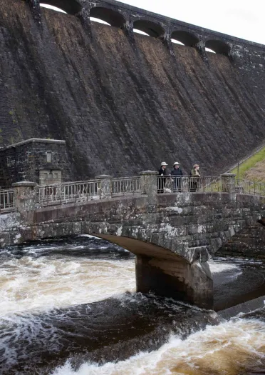
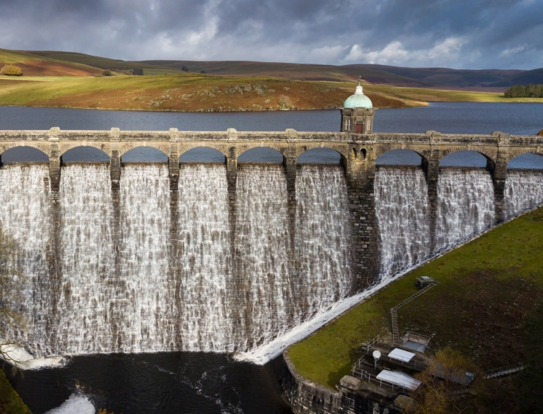
Elan Valley is situated in the heart of the Cambrian Mountains and has 72 square miles (115.9 km) of stunning landscape, including some of the most spectacular dams in Wales. An Elan Valley Walking Trails pack has been created, for clients to enjoy 12 walks, ranging from short strolls to longer trails. The walks have been graded from easy to hard, with some being fully accessible.
Operators that can help - 2
Good Day Out specialises in walks with animals in Bannau Brycheiniog (Brecon Beacons) National Park. Your clients can choose a walk with a difference from a number of small group experiences, including walks with miniature donkeys or little pigs. There is also a sheepdog experience. With every booking, a portion of the sale is donated to a wide range of charities.
This scenic Heart of Wales Line Trail is a long distance walking route which weaves between railway stations. It offers visitors and walkers a chance to explore Wales and the Borders by rail and foot, without the car. There are plenty of downloadable, way-marked routes to choose from including circular walks.
The website also offers shorter circular station walks.
National Trust list many places to walk in Wales, including seasonal, legendary and coastal walks. From strolls to hikes they provide comprehensive details which are print friendly or downloadable on a mobile or tablet.
The Wales Coast Path and the three National Trails in Wales have created a tool kit to help the Travel Trade incorporate walking into itineraries. It provides ideas for places to stay, eat and drink, where to shop and things to do along the trails. It also provides practical information regarding transport links and coach parking, examples of visitor experiences and useful links to further information.
Check out walks which are featured in the BBC One Wales 'Weatherman Walking' series, starring Wales' popular weatherman, Derek Brockway - with downloadable maps to follow.
The ramblers website has lots of useful information on walking including routes, events and guided walks.
Other useful walking links, many highlighting a variety of walks with detailed information and maps:
Bwlch Nant yr Arian Visitor Centre - three walking trails
Carmarthenshire walking routes - Discover Carmarthenshire
Celtic trails walking holidays - self-guided walking holidays in Wales
City of Arcades - walking tours with Fogo's Free Tours and Loving Welsh Food
Coed y Brenin Visitor Centre - three walking trails
Countryfile magazine walks
Denbighshire walking routes - downloadable map
Dinas Mawddwy walks and trails - eight circular walks
Eryri walking routes - The official Eryri (Snowdonia) website
Geotours App for Fforest Fawr Geopark
Gower Pilgrimage Way
GPS Routes
Go Jauntly - free downloadable app featuring step by step walks with Transport for Wales
The Meirion Trail - five storytelling chairs around Harlech
Mid Wales walking routes - Visit Mid Wales
Natural Resources Wales - walking trails
National Trust walking in Wales - coastal, countryside and mountain view walks
National Churches Trust - heritage trails
Neath Port Talbot - walking routes by Dramatic Heart of Wales
North Wales walking routes - Go North Wales
Richard Burton Trail - two trails in and around his birthplace of Pontrhydyfen
Swansea Bay - walking routes
Swansea's Best Kept Secret - 90min audio heritage walk, connecting past and present, celebrating local railway heritage
Tawe Trails - free mobile app for walks around Swansea
Tywi Valley Path - former railway track between Carmarthen and Llandeilo
Vale of Glamorgan walking routes including 10 Vale Trails
Visit Wales – walking information including Wales' long distance walking trails
Wales Coast Path - Visit Wales
Walking World
Wellbeing outdoors includes our fact sheets on regional walking routes
Please remember the Countryside Code when walking. You can download a copy on the Natural Resources Wales website.