South East Wales has so many diverse options for great walks including river, coastal, lowland, rural, village, industrial city or hilly landscapes. Long distance trails include Offa’s Dyke Path, Wales Coast Path and The Taff Trail.
Three easy walks
Walk one - Cardiff Bay to Cardiff Barrage
The walk starts at the Senedd, with great views over the Severn Estuary and watch out for the lock gates if boats are starting or finishing a sail. There are many statues and pavement art along the route. Look out for Pierhead Building, Norwegian Church, The Senedd and Wales Millennium Centre. The easy flat paved walking makes it accessible and wheelchair friendly. There are plenty of bars, cafés and restaurants for a refreshment break in Cardiff Bay. Return via the same route or those who want to extend the walk can continue on the Cardiff Bay Trail circular walk that continues to the Cardiff Bay Wetlands Reserve, Penarth Marina and Cardiff International White Water (CIWW) - 6.2 miles (10 km).
Start and finish: The Senedd.
Parking: Pierhead Street. Visit Cardiff provide useful information on coach parking.
Postcode: CF64 1TT
Distance: 1 mile (1.6 km)
Time: 1hr
Accessibility: Easy flat paved walking. Wheelchair accessible.
Toilets: Several signposted public toilets on route.

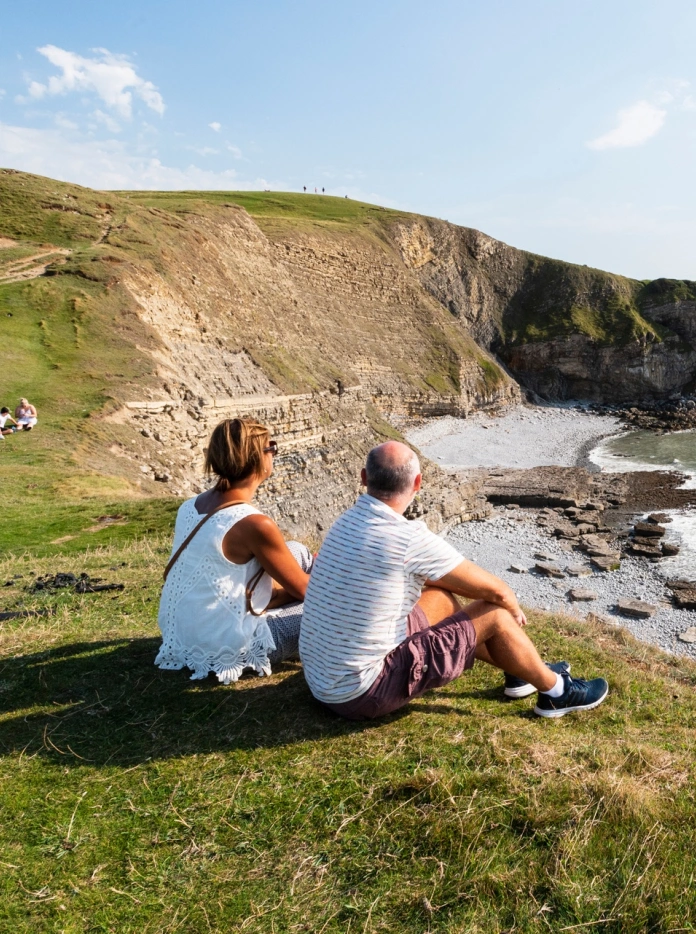
Walk two - Dunraven Bay on the Vale of Glamorgan Heritage Coast
The points of interests on this short circular walk include walled gardens, Witch’s point and the ruins of Dunraven Castle. There are good views of the beach that has featured in TV series’ including Dr Who and Merlin. Afterwards, walkers may like to visit the beach to look for fossils in the Jurassic rocks.
There are other longer walks in the area too.
Start and finish: Dunraven Bay car park.
Parking: The car park is above the beach.
Grid ref: SS 8834 7296
Postcode: CF32 0RP
Distance: 1.5 miles (2.4 km)
Time: 1hr
Public toilet: Yes
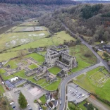
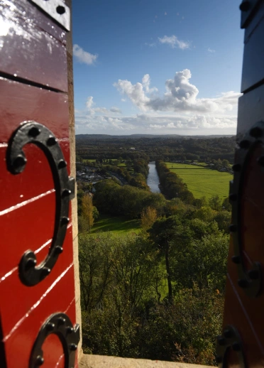
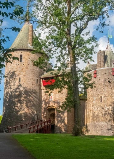
Walk three – Castell Coch and Fforest Fawr
Castell Coch looks like a fairy tale castle and the starting point for many walks in the area. Look out for the yellow markers for Burgess Way that includes an old mining site, the blue pool as well as carvings in the trees. There are also slightly longer walks including Sir Henry’s Trail and Industrial Heritage Trail.
Start and finish: Castell Coch car park. The narrow access is not suitable for large coaches.
Grid ref: ST132827
Postcode: CF15 7JS
Time: 1hr
Distance: A choice of three routes from 1 to 2.5 miles (1.6 to 4km)
Toilets: Castell Coch.
Three moderate walks
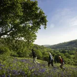
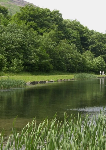
Walk one - Clytha and the Usk Valley
The paths can sometimes be muddy along the River Usk. The walk includes the parklands and woodland of an ancient estate and just visible are the remains of St Aeddan’s Church. There are views across the valley that are carpeted with bluebells in the spring (April and May).
Start and finish: National Trust car park. It is on the road to Bettws Newydd, just off the B4598.
Grid Ref: SO 361085
Time: 2hr
Distance: Approximately 3.8 miles (6.1 km)
Toilets: No facilities.
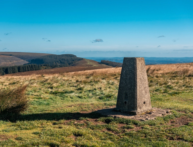
Walk two – The Sugar Loaf Mountain, near Abergavenny
Sugar Loaf mountain is visible from almost anywhere in Monmouthshire. This circular walk is over open ground and can be windy. It is only really steep near the tip of the mountain at 596 metres (1,955 ft) and there are rewarding views at the top. Your clients may encounter sheep, horses and other wildlife and can even enjoy a winberry (a small bilberry) in late summer. There are a variety of pubs and cafés in Abergavenny.
Start and finish: Car park at the end of a long, narrow, single vehicle lane, just off the A40 and turn into Pentre Lane. Accessible to mini buses.
Grid ref: SO 268167
Time: 2hr
Distance: 5 miles (8 km)
Toilets: No facilities.
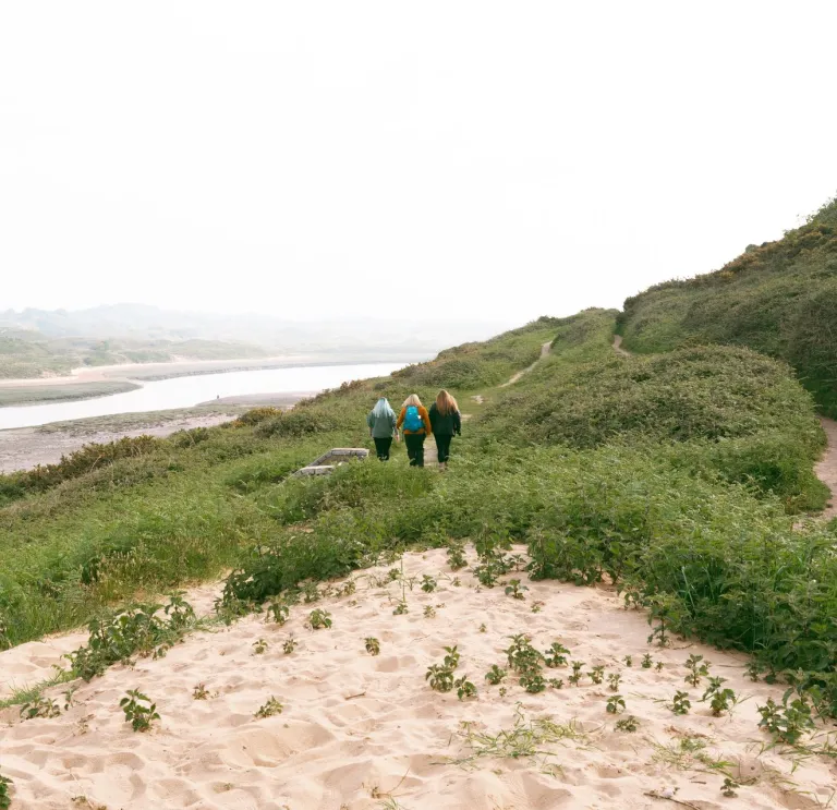
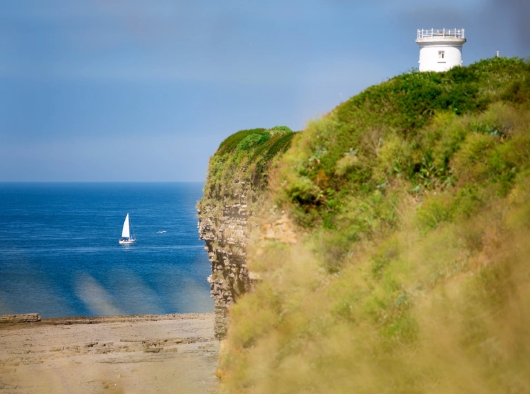
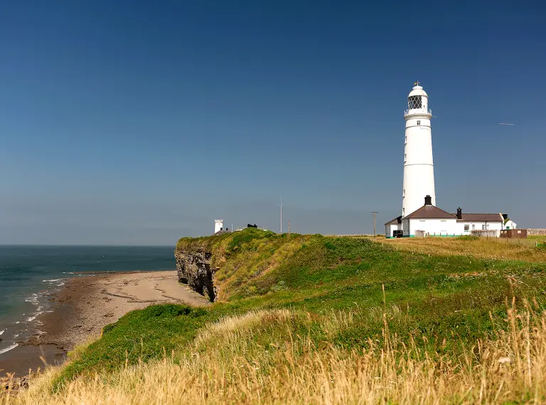
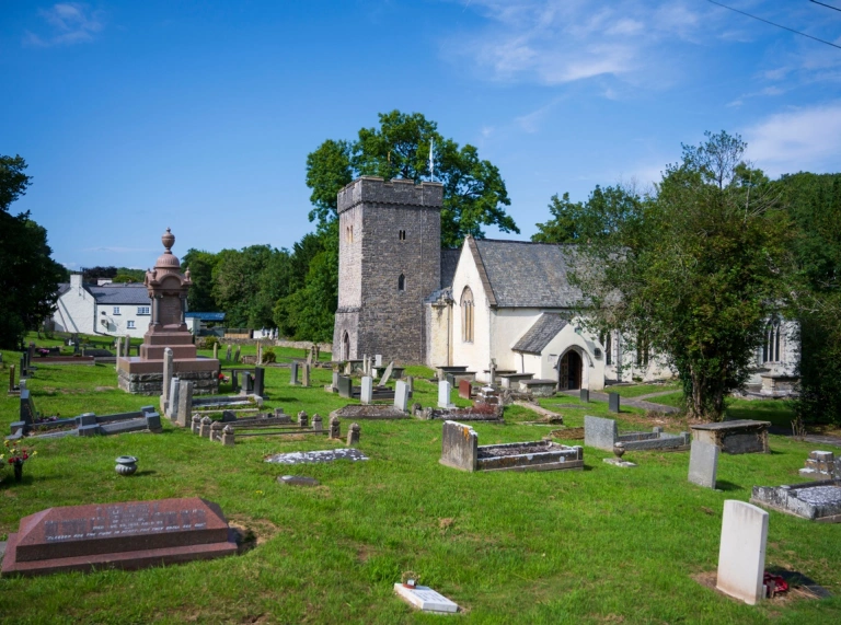
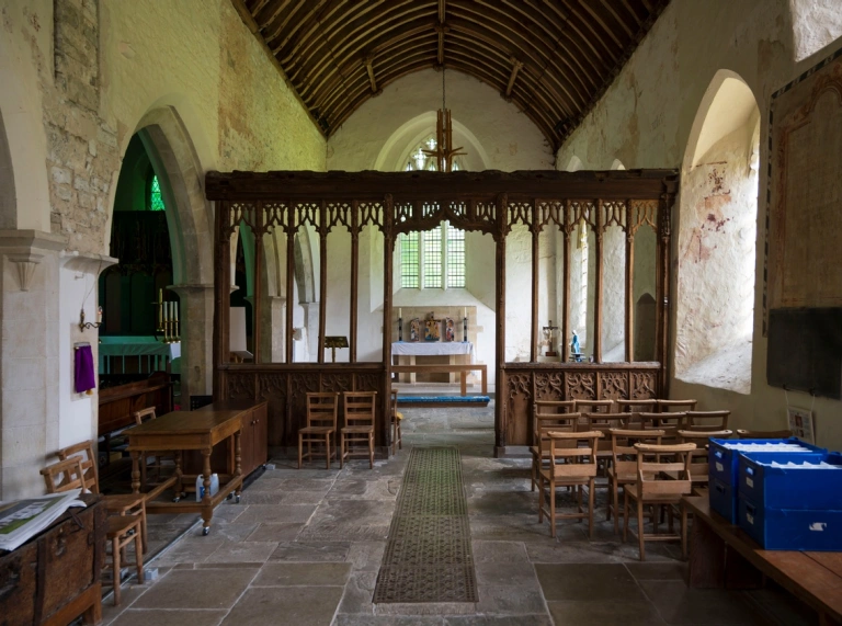
Walk three - Nash Point and St Donats on the Wales Coast Path, near Llantwit Major
The circular walk includes a stretch of the Wales Coast Path, two 19th century lighthouses, St Donats Church and a glimpse of St Donats Castle. The castle was once owned by the American newspaper magnate, William Randolph Hearst. Today it is the international school, UCW Atlantic College. The walk also includes rural farmland and ancient woodland.
Start and finish: Nash Point car park.
Grid ref: SS 916 683
Postcode: CF61 1ZH
Time: 2hr to 2hr 30min
Distance: Circular walk 4.5 miles (7.5km)
Two challenging walks
Walk one - 1807 Walk and Twmbarlwm Hill Fort Cwmcarn Forest
This walk includes stretches of the Monmouthshire and Brecon Canal, woodland and steep ascents up to Twmbarlwm Hill Fort which is 414 metres (1358 ft) above sea level, dating from the Bronze Age with great views over the Bristol Channel and surrounding countryside.
Start and finish: Cwmcarn Visitor Centre and car park.
Grid ref: ST229936
Postcode: NP11 7FA
Time: 6hr
Distance: 9 miles (14.5km)
Walk two - Magical Forest Walk
The walk passes through mixed deciduous and conifer woodland, countryside with views of the coastline and the skyline of Cardiff. It also passes through Pendoylan, a historical village which is home to St Cadoc's Church. The village can be a refreshment stop half way through the walk.
Start and finish: Forestry car park, north of Welsh St Donats.
Grid ref: ST031768
Postcode: CF71 7SX
Time: 3hr 30min
Distance: 7 miles (11km)
Advise your clients to wear suitable footwear and clothes for the weather, which can be changeable. Find information on protecting and enjoying the countryside in the Countryside Code and advice on staying safe with AdventureSmart.uk.
Visit the Vale provide details of more walking trails.