|
|
The Wales Way MapDownload a pdf map of The Wales Way |
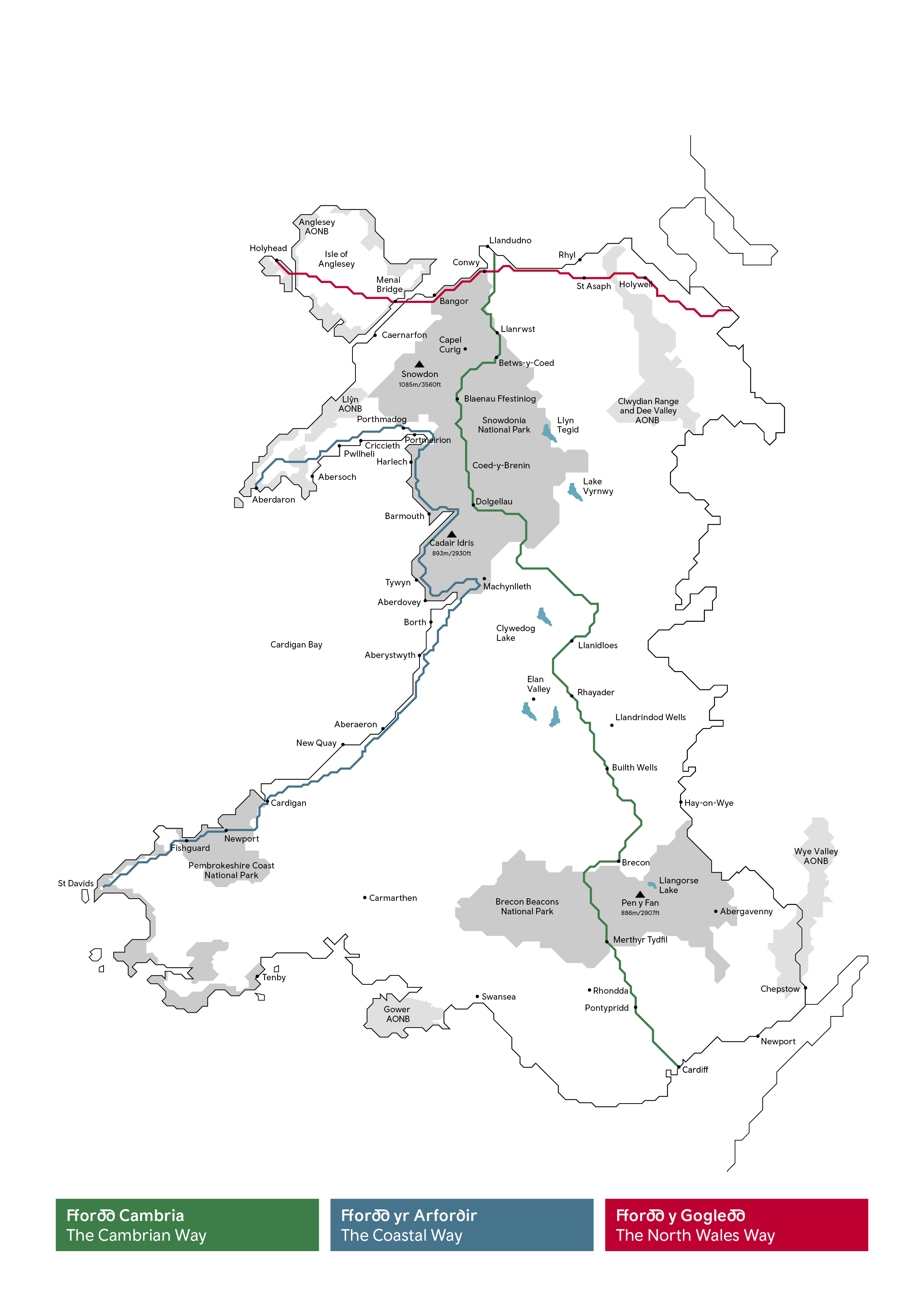
The Cambrian Way
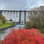
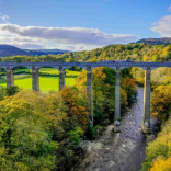
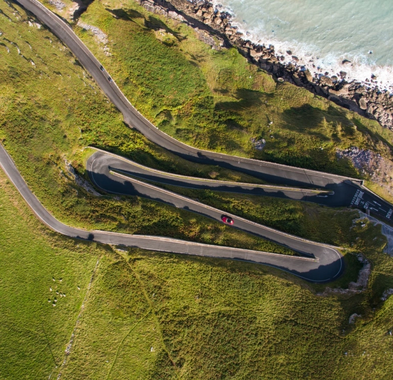
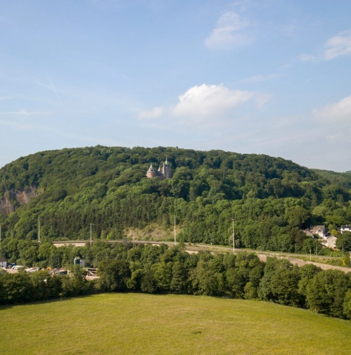
A complete north to south journey along the mountainous spine of Wales, running for 185 miles (300 km) coast to coast. It winds through two National Parks – Eryri (Snowdonia) and Bannau Brycheiniog (Brecon Beacons) – and the big green spaces in between. In the north, there’s the Victorian coastal resort of Llandudno and in the south is Cardiff, our cosmopolitan capital city. To the north, the route cuts through Eryri (Snowdonia) National Park and the highest peak in Wales and England. The central section passes the empty spaces of Pumlumon, the spectacular lakelands of the Elan Valley, and the vast Tywi Forest. To the south, the road climbs again into the Bannau Brycheiniog (Brecon Beacons) National Park. Along the way, the road takes in market towns like Dolgellau, Machynlleth and Brecon. The slate quarrying town of Blaenau Ffestiniog has reinvented itself as the adventure sports capital. Down south, the route cuts through the former coal-mining valleys, where tightly packed terraces cling to the sides of steep hillsides. For its entire length, The Cambrian Way is criss-crossed by epic long distance walking, cycling and horse riding trails, connecting the Wales Coast Path and Offa’s Dyke Path. It’s also well worth straying off the A470 road to discover loops and links off the beaten track. To discover places to eat, see our Food and drink along The Cambrian Way fact sheet.
The Coastal Way
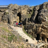
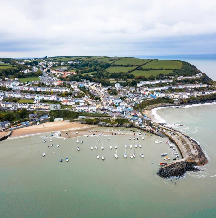
It runs the entire length of Cardigan Bay. It’s a 180 mile (290 km) route that threads between blue seas on one side and mountains on the other. The start and end points – Aberdaron and St Davids – are both ancient pilgrimage destinations. In between, the coast is dotted with harbour towns and resorts, fishing villages and secret coves. There are vast stretches of sand to the north, towering cliffs to the south, and beaches of all kinds in between. Offshore, the seas are home to whales, porpoises and dolphins. The route’s cultural highlights include Castell Harlech (Harlech Castle), the fantasy village of Portmeirion, St Davids Cathedral and St Davids Bishop's Palace. There are memorable spots off the beaten track, the north coast of the Llŷn Peninsula, Eryri, Pumlumon, Preseli. Endless ways for your clients to discover their own secret places. Pubs and restaurants have freshly caught seafood on the menu, together with lamb and beef from the nearby pastures and local craft ales. Discover Places to eat on The Coastal Way with our fact sheet.
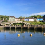
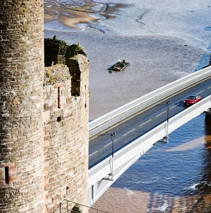
The North Wales Way
This follows the old trading route along the northern coast on to Anglesey. Quite apart from the resort towns and castles that line the 75 mile (120 km) trail, it’s the starting point to discover the panoramic north. From here visitors can explore the Vales of Clwyd and Conwy, the mountains of Eryri (Snowdonia), the Menai Strait, and our largest island, Anglesey. Castles dominate this route, there’s the perfect concentric design of Beaumaris Castle, the polygonal towers of Castell Caernarfon (Caernarfon Castle), and the sheer heft of Castell Conwy (Conwy Castle) and its town walls. Together with Castell Harlech (Harlech Castle), this cluster of 13th century castles forms a UNESCO World Heritage Site. The north coast also has several classic resorts along the way. The mountains of Eryri (Snowdonia) National Park, (the Welsh name Eryri, means ‘place of eagles’) loom large on the southern horizon. There are plenty of loops and interesting diversions too. It’s the gateway to the Vale of Clwyd, with market towns along the route to Llangollen. We have a useful fact sheet to discover Food and Drink along The North Wales Way.
10 reasons to include The Wales Way
- it is a family of three national touring routes;
- The Cambrian Way, 185 miles (300 km), winds through two National Parks - Eryri and Bannau Brycheiniog (Brecon Beacons). It starts or ends in our capital city Cardiff;
- The North Wales Way, 75 miles (125 km), traverses across the northern coastline including three sites with UNESCO World Heritage Status;
- The Coastal Way, 180 miles (290 km), explores the broad epic shoreline of Cardigan Bay;
- plot routes by car, by coach, by bike or foot;
- weave all three together for one epic adventure, link tow or pick one;
- themed itineraries are available with Travel Trade friendly products;
- there are loops and detours so that you can easily create a unique Wales road trip for you clients;
- whether it’s through a coach window or walker’s binoculars – the views from the routes are spectacular;
- look out for surprising places and experiences to make each visit special.
Resources that can help you feature The Wales Way
Travel Trade – brochures and maps
Exploring The Wales Way - Visit Wales - complete with maps
Travel Trade friendly itineraries
Cadw has produced guides aimed at helping the Travel Trade plan routes to explore Welsh heritage along The Wales Way in English, German, and French.
Food and drink suggestions along The Cambrian Way by Blas Cambrian Taste
An interactive map including over 200 local food and drink businesses, retailers, hospitality providers and food festivals that are within 40 minutes of The Cambrian Way. Explore the map for a mix of tourist sites with locally sourced produce.
We’ve also highlighted key attractions along these routes on google maps where you are able to view photos and videos:-
The Cambrian Way
The Coastal Way
The North Wales Way